
Interactive Map App of the International Trade through RAK Ports 20102019
09/12/2020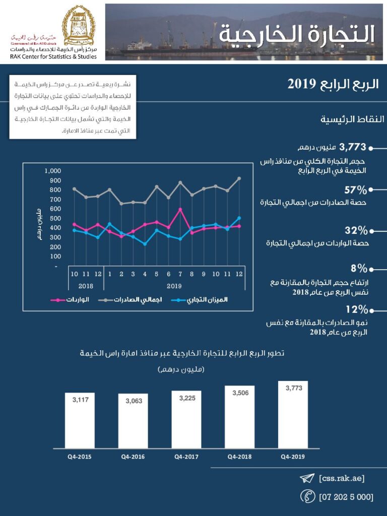
RAK Center for Statistics & Studies Launched a smart Web application with interactive geographical Map Powered with analytical tools to display the most important data and statistical indicators of Foreign Trade trends through the ports of the Emirate of Ras Al Khaimah by countries and the main groups of countries from 2010 to 2019.This release comes into the center’s framework to achieve its initiatives and strategic objectives represented, by providing reliable and transparent statistical data according to international standards, adapted to the needs of different categories of users to contribute to achieving the Emirate’s vision and the SDGs. As it’s considered as one of the advanced methods in the dissemination of statistical data according to their geographical distribution, which significantly reduces the time and effort, and to be an effective tool for decision-makers and those responsible for the economy and Planning, and researchers interested in the development of economic, demographic, social, agricultural and environmental.